


Chapter 03 · Public Experience
Living Command Center
Real-time conservation intelligence for Indonesia’s forests, coasts, seas, biodiversity, and community-led field operations.
This public preview currently displays simulated operational data while verified live observations are being synchronized from field teams across Indonesia.
--:--WIB
--:--WITA
--:--WIT
NCDE public intelligence layer online
FOREST · MARINE · BLUE CARBON · FRESHWATER · BIODIVERSITY
Active Missions
Across field operationsProtected SATOR Squares
18,450 ha ÷ 10 km²Indigenous Community Groups
Approx. 800–1,000 ha per communityConserved as of Today
Living Conservation Portfolio
Rainforest0
Mangrove0
Blue Conservation0
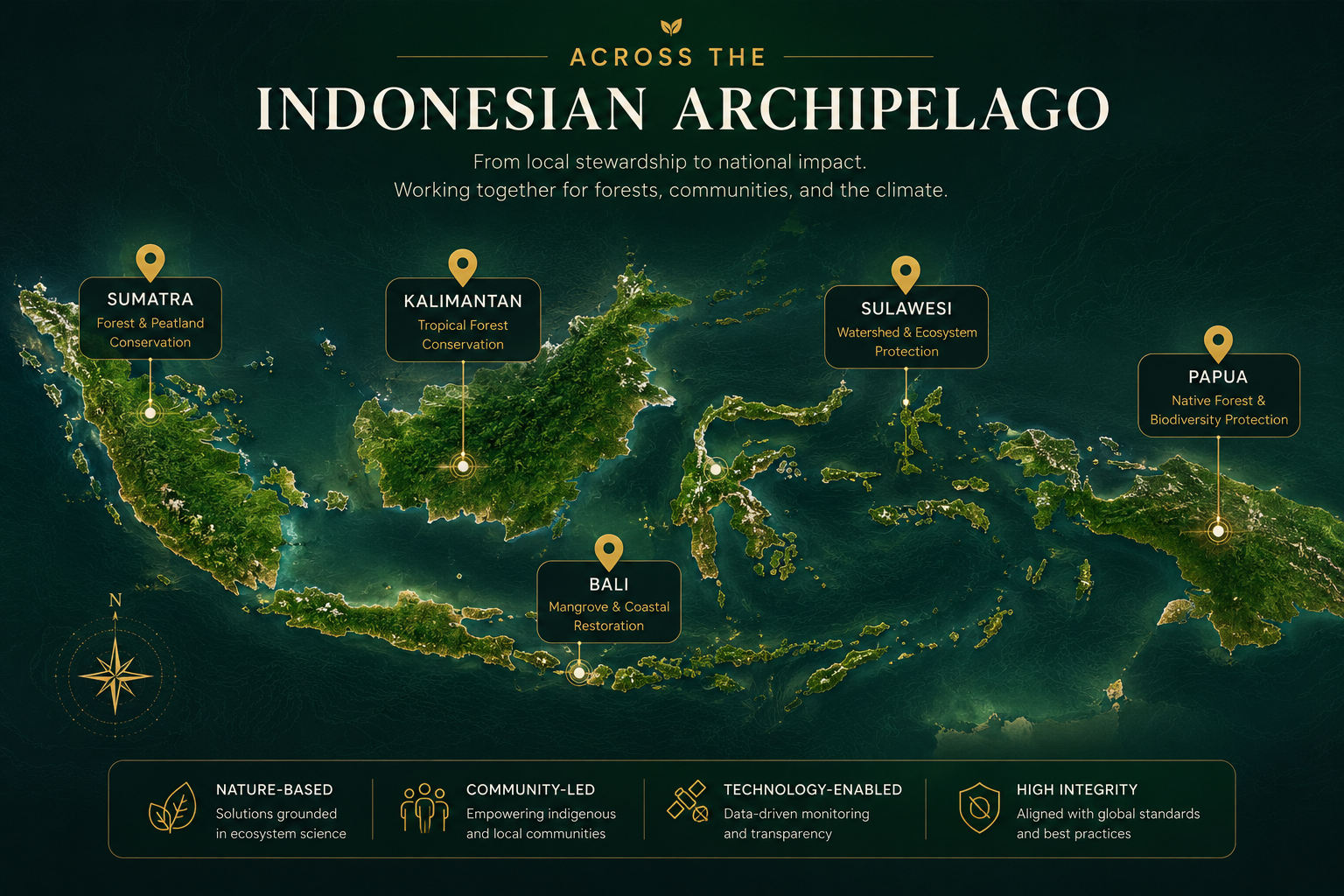
Spatial Intelligence
National Conservation Pulse
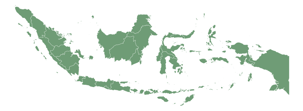
NCIS Spatial Intelligence
Public capability view · Select a marker
Active programme
In development
Priority signal
National view online
Mission Execution
Active Operations
01Mangrove Health VerificationNusa Lembongan · SEAL Bali Coastal 78%
02Coral Reef Transect SurveyNusa Penida · Marine Observation Team 61%
03Forest Biodiversity PatrolEast Bali · SEAL Team 03 44%
Ecosystem Pulse
Environmental Signals
ForestHealthy
MarineStable
Blue CarbonImproving
FreshwaterMonitored
